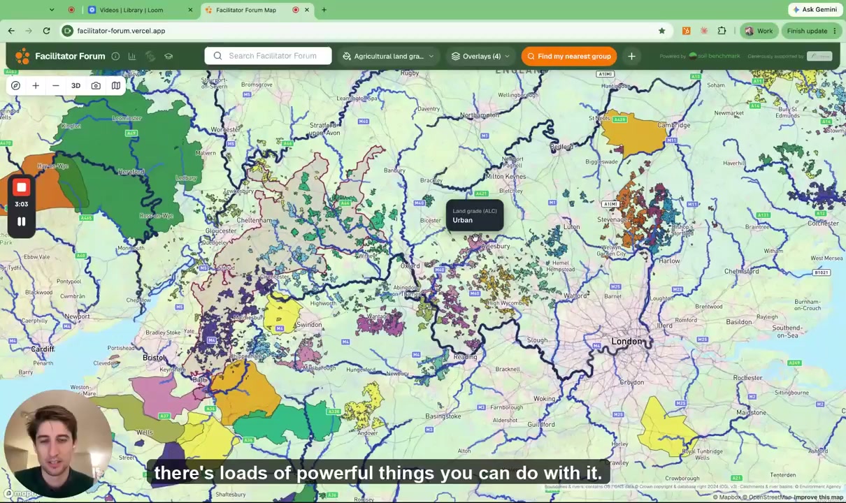
🗺️ Today we're publicly launching the Facilitator Forum map, bringing farmer groups from across the UK together in one place.
When I was travelling for my Nuffield Farming Scholarships Trust study looking into 'Why Farmers Change' - whether it was in Argentina 🇦🇷 or Denmark 🇩🇰 or Australia 🇦🇺 - if there was one thing that I would describe as a silver bullet for driving change on farms it was a well-run farmer group with a really punchy facilitator. 🧑🌾
In all those countries, the reason they had so many groups is that they were part of wider networks helping groups and facilitators flourish and learn from each other. This map is one of the key things that the new Facilitator Forum, that I am helping to get going, has created to help make that the case in the UK. Facilitators have been using the map and helping us shape it since we launched it to them at Groundswell - there are now 79 groups mapped (plus more facilitators in our very active WhatsApp group).
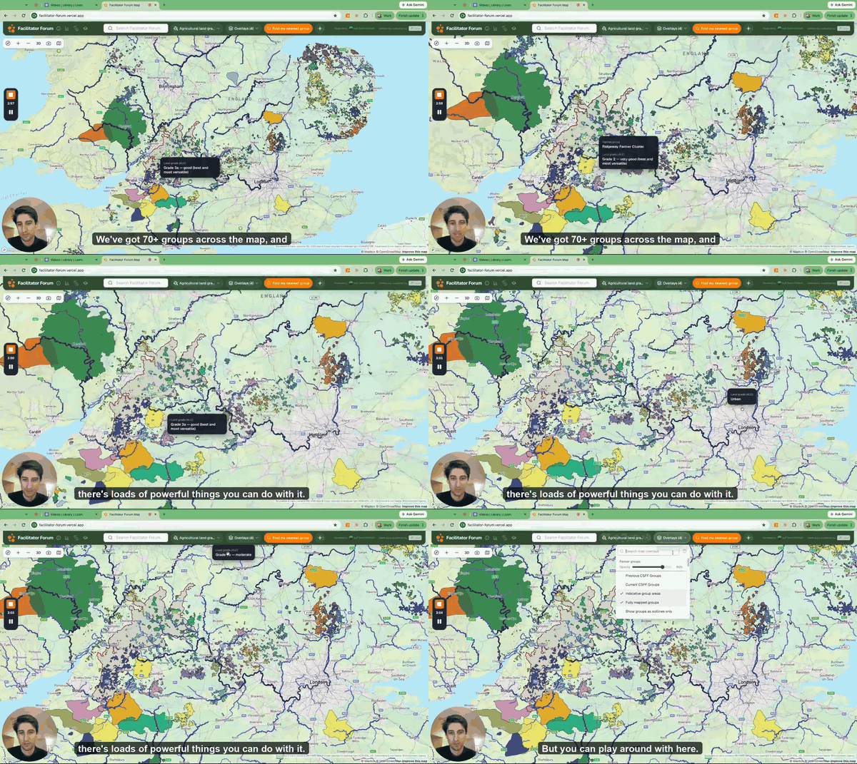
The idea came out of last year's Facilitator Forum at the Allerton Project, where facilitators asked for an easier way to see who else is out there, what's around them and to help prove the value of the work their groups do to potential funders. Lucy MacLennan, Sam MacLennan, Kate Dewally, the team at Soil Benchmark 🚀 and I have been building it for the last few months, with funding from the Frank Parkinson Agricultural Trust 🙏 and a lot of feedback from Sarah, Brian, Jenny, Alexandra, Mel. It's hosted completely independently and your group boundary will go nowhere other than onto the map.
What it shows 👇
Click on any group (as in the video) and you'll see its area, catchments, councils, designations, soils and land grade, why the local rivers are failing, and the population and economic activity downstream. Hopefully useful evidence when you're talking to funders or water companies. 💧
No mapping experience needed. Boundaries are merged, so no individual farm is ever shown, and groups can show just the rough area they work in if they'd rather. 🔒
Free launch webinar 📅
Kate and I are running a free webinar at 1pm on Thursday 29th October: how it works, how to get your group on, and what would make it more useful. Sign up here.
Where you'll find us next 📍
- Norfolk FWAG's Norfolk Landscapes Conference, Tuesday 3rd November (I'm speaking alongside David Lyles and Ali Cargill in a session all about Farmer Groups)
- Facilitator Forum at Waddesdon Manor, Tuesday 10th November, hosted by the Rothschild Foundation - limited tickets left, but sign up to the waiting list to receive the summary of the day, which we'll be sending out to everyone on the list
- Facilitator Forum near Monmouth, Tuesday 24th November, at Dan Smith's farm - (free) tickets now available
- Abi Mordin's Scotland Farmer Facilitators Gathering, Stirling, early February
Links 👇
- 🗺️ The map: facilitator-forum.vercel.app
- ℹ️ About the Facilitator Forum and last year's report: agricology.co.uk
- 📖 My Nuffield report and videos: linktr.ee/tscrope